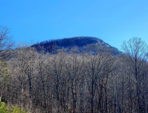
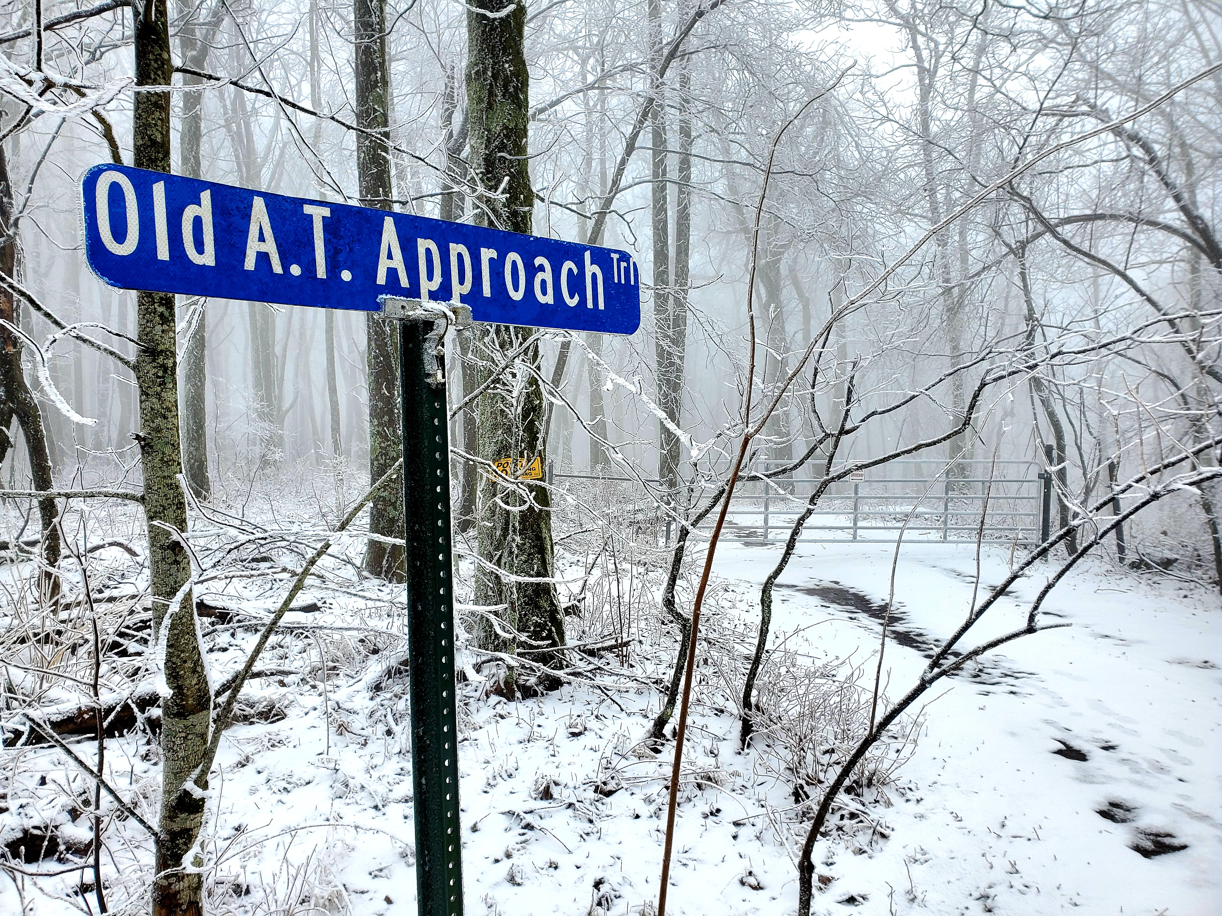
From 1937-1958, Mt. Oglethorpe served as the Southern Terminus of the Appalachian Trail, and due to development around the mountain in 1958, the Trailhead was moved approximately 20 miles northeast to its current location of Springer Mountain.
Think about it… Mt. Oglethorpe is where Earl Shaffer began his first epic thru-hike of the AT in one season!
Mt. Oglethorpe was named after the founder of Savannah and the colony of Georgia in 1733: James Oglethorpe. For years a monument was erected atop of Mount Oglethorpe in honor and memory of James Oglethorpe (hence there is now a road named: “Monument Road” that leads to the summit of the mountain’s Parking Area), but this monument has since been relocated to “The First Mountian City” of Jasper, Georgia.
For decades this mountain has been closed to the public, but has recently been re-opened to enjoy the easy-to-moderate hiking of its trail system.
Slipper and I live only minutes away from this historic place of the Appalachian Trail and took the time to enjoy its beauty and to walk the historic steps where others once trod.
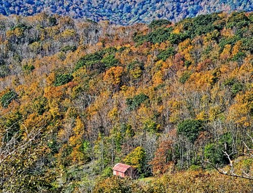
It is wonderful to see and experience the beginning of renewed efforts and the progress that is happening atop Mt. Oglethorpe. Currently there are two trails to venture “Eagle’s Rest Trail” and “Oglethorpe Mountain Trail” (both of which can be accomplished in an afternoon).
Observation Decks to what is referenced as an “Outdoor Classroom” have been built to expand an Amphitheater Style setting of stone and timber seating for events that may be scheduled to take place in nature.
Upon our visit to Mount Oglethorpe, a brand new privy was being built to allow people the time to stay and enjoy the beauty of the surroundings (even when “nature” personally calls).
Parking has been established and temporary signs have been installed to help guide your experience (informing you of the remaining mileage to your hike).
Since the James Oglethorpe Monument has been relocated into the city of Jasper, Cell Towers and Electrical Stations have been erected (hard to stop the progression of technology) in its place. Just beyond the technology, the trail disappears into the woods and a loop boarders the crest of the mountain.
ou can readily tell that a lot of work has gone into re-opening Mount Oglethorpe and its trail system, as the trail is marked with Yellow Blazes and has actually been boardered with timber and stone.
When you have the opportunity to visit this trail system, give a helping hand as you hike the trails and place a rock or large limb along the established boarder of the trail to help with the vision of those who have re-opened it.
Along the trail, a couple of Picnic Tables have been built and placed for your opportunity to sit, rest, eat, drink and enjoy the company of those your are hiking with or just to reconnect with nature and creation.
As the trail descends, it connects to an old logging road that you will hike for a short distance before entering into the woods again on your moderate ascent to the Parking Area.
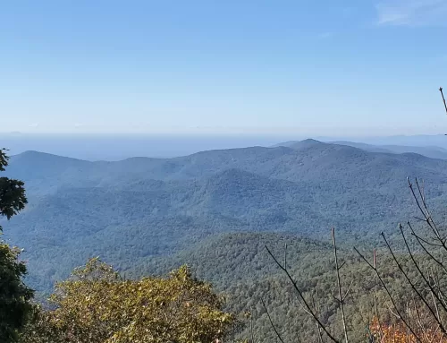
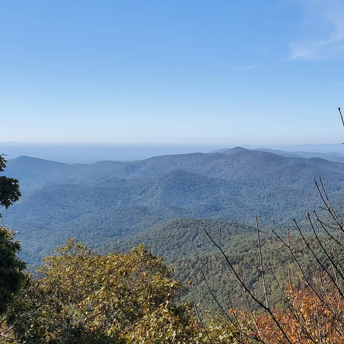
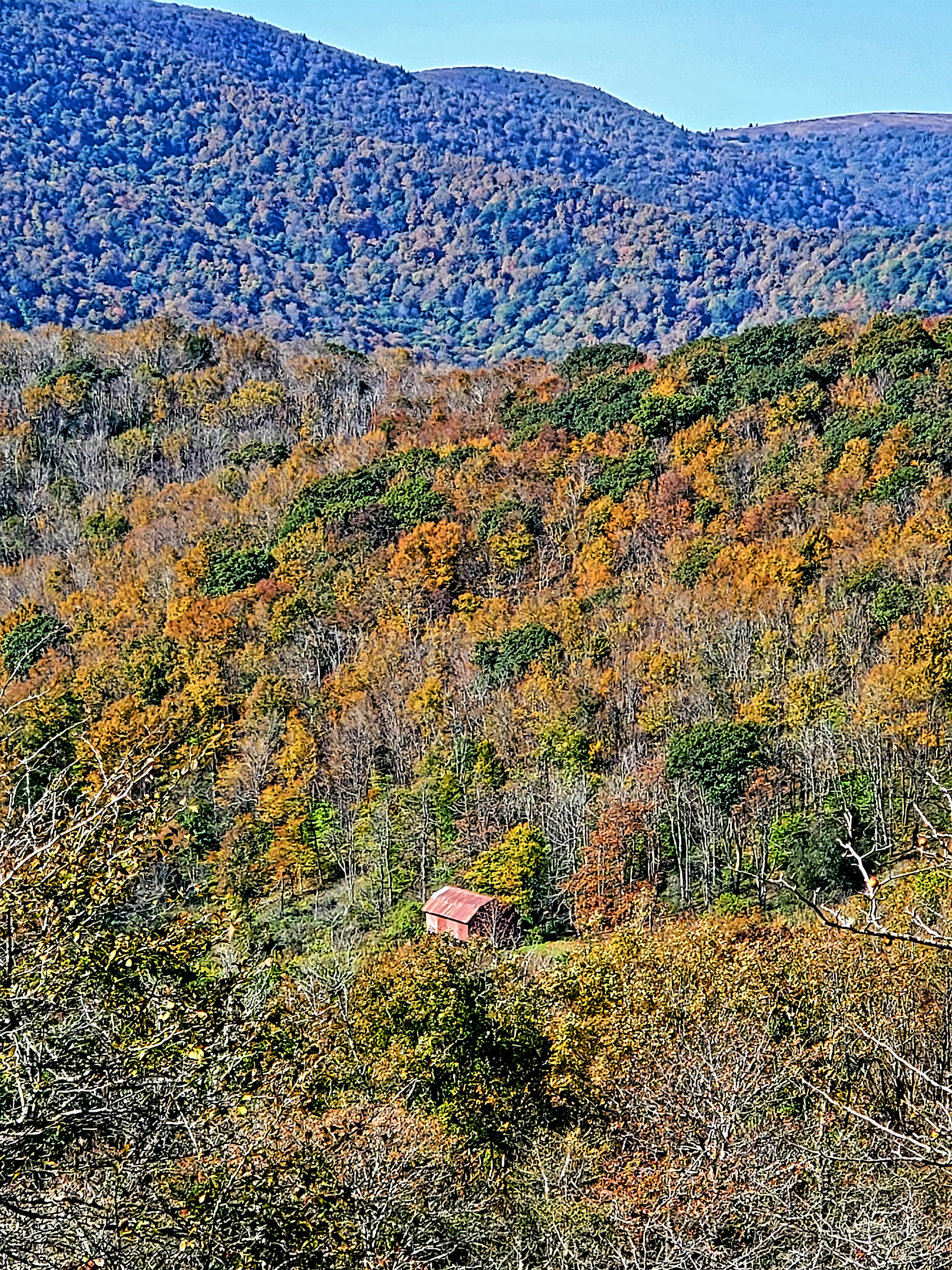
Before you leave, make sure to visit the SouthEastern Observation Deck overlooking Petit Lake in the Big Canoe Development! The view is amazing… not to mention the gentle breeze and seating 🙂
We hope that you will continue to follow us as we prepare our attempt to thru-hike the Appalachian Trail in one season (beginning Valentine Day 2016). While we will begin at the Springer Mountain Southern AT Terminus for our NOBO (North Bound) Hike, it is truly fulfilling to know that we have at least visited and hiked the historic AT Southern Terminus of Mt. Oglethorpe.